


Cleanroom News, Cleanrooms
Satellite Images – Doves Made In Home-Made Cleanrooms?

Jul
Here at Berkshire, we love technology. From the AI of semi-autonomous cars to the bug-zapping power of the IV hospital robots, we are inspired and motivated by the creative ways in which technology is positioned to improve our lives. And it’s not just in industrial settings. We also have a passion for technology in the arts – one of these being photography. Recently, one of our staff invested in a new pro-sumer level camera, boasting a 50-megapixel resolution to bring staggeringly detailed images to life. Naturally, we suffered an acute case of gear-envy…until we heard about the work of a Silicon Valley start-up, Terra Bella, that created a 50-trillion (yes, that’s with a T) pixel image of the planet we call home. Fifty trillion pixels? Time for a gear-envy reality check.
But before we let our colleague reach for a return label for that 50-megapixel DSLR, let’s back up a moment. We’re all familiar with 21st century satellite technology – whether it is the low earth orbit observation units that monitor the weather or the terrain-mapping activities of satellites such as TerraSAR-X, the radar imaging unit in polar orbit. And, of course, there’s our favorite mini-satellites too – the CubeSats. But Terra Bella was a new player in the game – one looking to create a brand new visual library of the Earth every day. Headquartered in Mountain View, CA, Terra Bella (formerly Skybox Imaging) was founded in 2009 and purchased by Google within five years. Providing high-resolution satellite imagery, video, and analytics, Terra Bella had a cluster – known prosaically as a constellation – of satellites, SkySat – that captured video clips at 30 frames/second and still images in which individual cars could be seen. From space. And this sky-high corporate trajectory made the enterprise appealing to another player in the Silicon Valley field, Planet Labs. Founded in 2010, Planet skyrocketed to success by raising approximately $183 million in venture capital funding in its first five years. In April of this year, Google sold Terra Bella to Planet, in the process acquiring an equity stake in the company and entering into a multi-year agreement to purchase SkySat images, all with regulatory approval.
So what is it that has Google and Planet so excited about small satellite technology?
As we discussed in our earlier article on CubeSats, the lure of these miniature modules is their relative simplicity and low production/deployment cost. Planet’s units, known as Doves, are roughly shoe-box sized (measuring only 4”x4”x12”) and weigh in at less than 10lbs each. Composed of 2,013 separate components, each one contains ‘a cylindrical telescope wrapped in gold-plated tape to provide thermal insulation and surrounded by six lithium ion batteries, individual heaters for each one, and a handful of circuit boards.’(1) Yet these diminutive systems are capable of providing images with an optical resolution of 9.8-16.4ft – from a height of 250 miles above the surface of the planet. To allow for system redundancy, the satellites are clustered together to form constellations, with Flock-1 of 28 units, successfully deployed via the International Space Station (ISS) in 2014. Flock-2 quickly followed in 2016, piggy-backing on the Cygnus CRS OA-6 cargo mission to resupply the ISS. Most recently a third constellation, Flock 3p, launched 88 units, the largest fleet of satellites ever to be put in a sun-synchronous orbit, coasting at an altitude of 310 miles above us. In order to get the units into the perfect position to record images the Doves use their solar panels as a type of sail, the differential drag on the edge of the atmosphere slowing them down. According to an article published in Bloomberg Businessweek, the use of differential drag by a cluster of satellites had remained within the realm of the theoretical until Planet achieved it successfully, fanning out the 88 units into an orbit that crosses the equator at the same local time once per day.(2)
Planet’s San Francisco-based office boasts a manufacturing operation in which ‘workstations, some shrouded by server racks, cling film and HEPA filters – home-made “clean rooms”
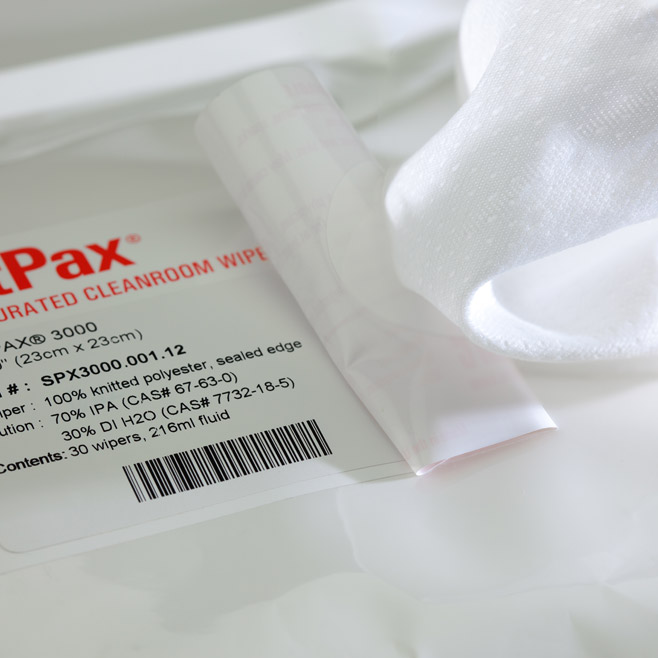
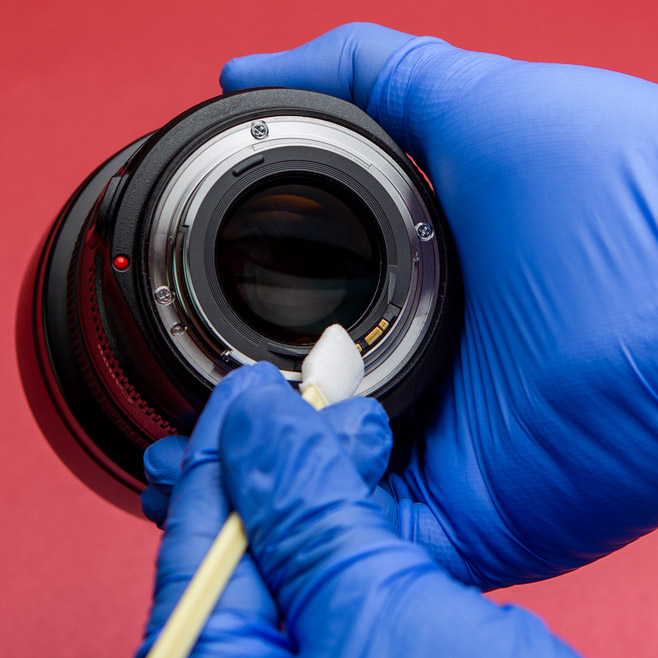
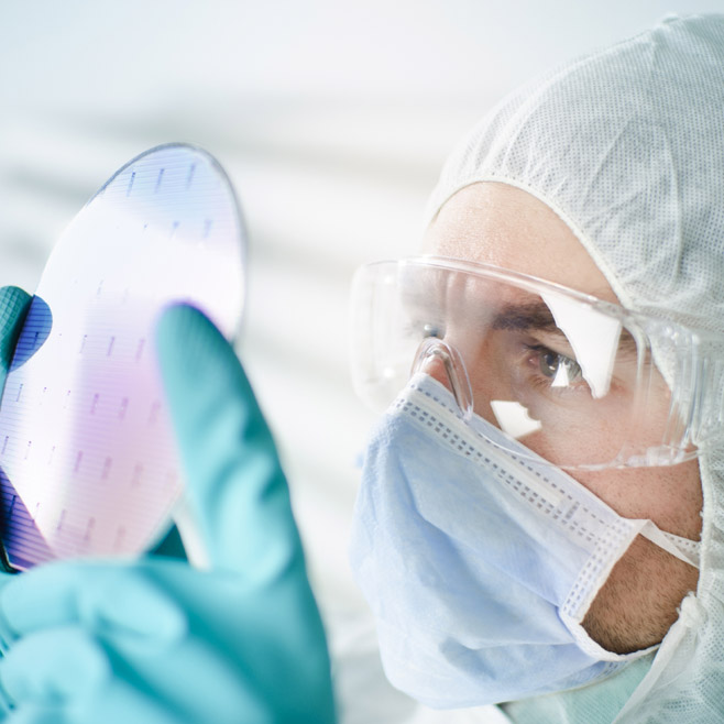
What drives this and makes it possible is having relatively inexpensive hardware and massive, affordable processing and storage ability in the cloud. And this is where Planet’s vision and business model challenge tradition. Adopting an Apple-esque mode of innovation, Planet moved from planning a NASA-style multi-year mission to upgrading, building, and launching constantly. Rapid development and constant iteration facilitates a rolling release schedule with patches and updates in the field. And, of course, this entails loss – a ‘failure’ enthusiastically welcomed by Planet. As Ben Haldeman noted in an article in WIRED magazine, Planet Labs: the satellite-launching startup that took on national governments – and Elon Musk, ‘the company iterates at hyperspeed by burning through actual satellites, rather than by complex modeling of prototypes. “We’ve learned lessons by breaking things rather than by simulating and overdesigning.”’(3) And perhaps it is because of this incentivization to create a technology from the bottom up rather than the traditional ‘requirements-driven waterfall approach’ that Planet has not yet adopted a conventional clean room approach to manufacture. In contrast with Terra Bella’s approach which saw the company using its own space-grade cleanroom complete with a team of bunny-suited technicians, Planet’s San Francisco-based office boasts a manufacturing operation in which ‘workstations, some shrouded by server racks, cling film and HEPA filters – home-made “clean rooms” – look less like a high-tech assembly floor and more like an enterprising maker’s workshop.’(4) And this is a point of some concern for us. As we discussed in our earlier article on CubeSats, contamination control is critical to the development of tools that we launch into space. By contrast, the devices manufactured at NASA’s Jet Propulsion laboratory in Pasadena, CA, emerge from a controlled environment regulated by electrostatic discharge flooring, HEPA-filtration, cryogen ventilation systems, air scrubbers, and isolated electrical circuits. Why? Because electro-statics and particulate matter such as dust can damage mission-critical sensors and lenses, potentially compromising the integrity of the data that’s relayed. So, from our industry’s perspective, the lack of a cleanroom could be a mistake. Will Marshall, founder and CEO of Planet Labs, calls it ‘agile aerospace.’

All of this advanced technology is interesting but, apart from predicting the likelihood of rain showers, what is it used for? We’re glad you asked and, if you’ll pardon the pun, the sky really is the limit. From monitoring activities in hard to reach places such as covert logging deep within protected rain forests, illegal mining, or illicit river dredging to tracking the spread of wildfire in California or flooding in Louisiana, satellite imagery is an exciting new tool. With a rapidly refreshing visual representation of an unfolding scene – say a forest fire, a catastrophic seismic event, or perhaps an erupting volcano – an efficient and targeted response may be mounted. Resources such as emergency equipment and personnel – firefighters and medics – can be on the ground quicker and more efficiently when given the latest and most accurate data.
…satellite imagery can assist in agriculture by monitoring crop growth and predicting annual yields.
And graphics provided by the Doves are equally useful in less harrowing circumstances. Both in developing countries and right here at home, satellite imagery can assist in agriculture by monitoring crop growth and predicting annual yields. Vinsight, for example, is a small start-up in California that is using machine learning to analyze satellite images to predict grape and almond crop yields. The company’s algorithm leverages eye-in-the-sky technology and also takes into account historical data, GPS location, and weather patterns to calculate output. Although both grapes and almonds are among the most valuable of the state’s agricultural crops, the U.S. Department of Agriculture does not forecast annual yield projections, making it difficult for growers to accurately predict income and plan for investment.
South of the border in Mexico, Orbital Insight, a geo-analytics company also located in Mountain View, CA, has partnered with the World Bank to leverage satellite imaging to create a poverty database of municipal communities.(5) Economic growth data combined with information from household surveys is the traditional way to determine how many people are living at or below the poverty line, but satellite imagery allows researchers to create poverty maps that are updated more frequently and allow a more adaptive and nimble approach to the distribution of funding from governmental programs. Leveraging this technology, both NGOs and governmental departments that respond to those needing assistance can better target where to place vital funds to achieve the maximum impact.
…an orbiting phalanx of long lenses enables the U.S. government to keep a close watch on hostile nations, monitoring missile stockpiles or troop maneuvers.
Moreover, there are national security implications. On the one side, an orbiting phalanx of long lenses enables the U.S. government to keep a close watch on hostile nations, monitoring missile stockpiles or troop maneuvers. And on the other, they can be used to study dynamically and in real time the impact of food insecurity in developing nations. For example, in the event that we can directly observe an unfolding drought or crop decimation from pests, we can get in front of the looming humanitarian crisis by directing resources more rapidly and efficiently. With satellite monitoring, we no longer need to wait for the sociopolitical effects of natural disaster – famine, civil unrest, or war – to manifest before we can react. We no longer need to fear the uprising of groups like Boko Haram or ISIS, which as Mark Johnson, CEO of image analysis start-up, Descartes Labs, notes, were ‘preceded by food shortages.’(6) So, in political and social terms, pre-emptive action is in our own national interest: maintaining social stability and snuffing out flames of discord before they become wildfire in economies in the Middle East or parts of Africa is to our advantage because, in an inherently connected world, unrest in those areas has a direct and quantifiable impact on economies such as our own.
And finally, no discussion of space-bound technology would be complete without mention of Elon Musk and SpaceX. The enfant terrible of the start-up world, Musk is interested in developing a network of near-earth orbit satellites to offer low cost internet access to communities currently underserved by major market players. Launching a phalanx of custom-built satellites set in orbit using the company’s own Falcon 9 rockets, SpaceX plans to operate on 83 planes at an altitude of between 1,110k and 1,325k with the units operating on the Ka- and Ku-band frequencies. The units are scheduled to launch in 2019.(7)
Moreover, they have competition. One Web, based in St. Helier, Jersey, has a similar mandate, seeking to provide an ‘affordable global gateway’ by means of high-performance, low-cost satellite technology. Working to ‘fully bridge the Digital Divide by 2027, making Internet access available and affordable for everyone,’ OneWeb has set its corporate sights on ‘greater than 100x capacity growth […] including Gigabit per second speeds, lower latencies, and affordable self-installed terminals [to support the] 2022 goal of connecting every unconnected school [and offering] boundless low latency broadband access [to] homes, connected cars, trains, planes and cellular backhaul applications.’(8)
These are lofty ambitions indeed.
But on the flip-side, there is a dark Mr. Hyde to this technological Dr. Jekyll. In addition to the absolutely critical abundance of caution around individual privacy rights, there is also the question of the potential leveraging of ‘insider information.’ When an investor analyzes satellite imagery of, say, the number of cars in a store’s parking lot and sees that it is down, predictions can be made regarding the company’s baseline profitability. Assumptions that can affect stock price, market share, and ultimately the jobs – and livelihoods – of the store’s employees. Another example of how this technology could be used to manipulate the market would be the orbital surveillance of oil tanks in order to gauge supply and demand, thereby affecting price at the pump. As an article in Newsweek notes: ‘most oil is stored in giant cylinders. To keep explosive gas from building up in these big tanks, the lids float atop the oil, rising and falling as they get filled and emptied. Position a camera directly above one of those tanks, create a time-lapse video, you’d see a crescent shadow that would get slightly larger as the tank drained and the lid sank. [It’s possible to] then calculate how much oil is in that tank based on the time of day, the tank’s diameter and its shadows. [… And] with Planet’s images and machine learning, anyone could figure out how much oil is being stored all over the world (and place million-dollar bets accordingly).’ In other words, hacking the market offers a bounty of opportunity for lucrative investment and timely divestment, if the relevant data are available.
So will the main benefit of these cutting-edge imaging technologies be only the enrichment of corporate bottom lines by the world’s most powerful business titans?
That remains to be seen. An optimist, however, might reflect back almost fifty years to 1968 when Apollo 8 astronauts Frank Borman, Jim Lovell, and William Anders took the now iconic image of our planet from their rather unique vantage point on the moon. A blue and white jewel hanging alone in an obsidian-black sky, the image termed ‘Earthrise’ became ‘the most influential environmental photograph ever taken.’(9) Building on the impetus created by Rachel Carson’s publication of Silent Spring in 1962, the image spawned the birth of 1970s environmentalism in its depiction of both the majesty of the planet and its fragile vulnerability in a cold and hostile universe. And now, as our home undergoes climatological change and confronts environmental challenges of unprecedented proportion, satellite images from constellations like Planet’s Flock 3p Doves may bring us the data we need to understand our path forward and shake us from complacency in the face of this thoroughly modern threat.
We’d love to know your thoughts!
References:
- https://www.bloomberg.com/news/features/2017-06-29/the-tiny-satellites-ushering-in-the-new-space-revolution
- ibid
- http://www.wired.co.uk/article/planet-labs
- ibid
- https://www.fastcompany.com/40425808/how-tiny-satellites-are-changing-the-way-we-do-business
- http://www.newsweek.com/2016/09/16/why-satellite-imaging-next-big-thing-496443.html
- https://www.theverge.com/2017/5/4/15539934/spacex-satellite-internet-launch-2019
- http://oneweb.world/
- As noted by National Geographic photographer Galen Rowell

Pingback: Imágenes de satélite - palomas hechas en salas limpias caseras? - Productos de Cuarto Limpio | Berkshire Mexico
Pingback: Dove Satellite's Made In Home Made Cleanrooms - Berkshire Singapore